
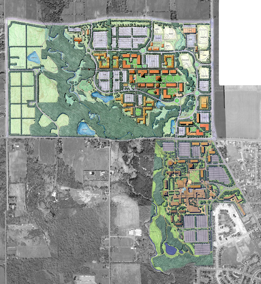
Establishing a scientifically defensible natural heritage framework that strikes an appropriate balance between competing goals and interests is fundamental to the success of a project, and to achieving environmental sustainability in land use planning.
PLAN B Natural Heritage uses respected methods for completing biological inventories, GIS mapping, and opportunities/constraints analysis for natural heritage studies encompassing landscapes ranging in scale from a few hectares to entire watersheds.
Based on our scientific and practical approach, PLAN B Natural Heritage has successfully established the parameters for environmental protection and enhancement, identified community-based stewardship opportunities, and delineated the boundaries of development while integrating natural heritage features with the built component of communities.